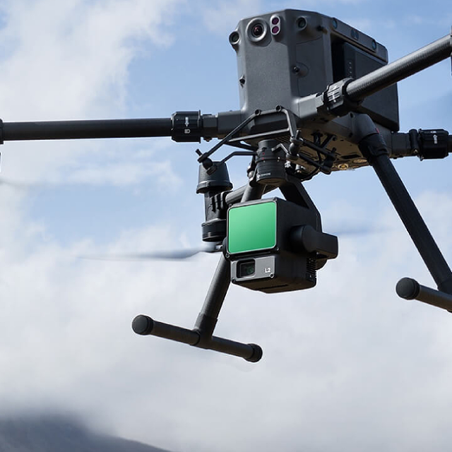
LiDAR Scanning Solutions
Advanced light detection and ranging (LiDAR) land surveys offer numerous advantages over other techniques.
Laser scanning, a technology commonly known as LIDAR, offers a range of advantages over other surveying methods. It provides extremely precise control and visualisation through dense point clouds. With the advancement of drone technology, LiDAR enables laser pulses to penetrate dense vegetation, reaching the ground surface. This technology excels in terrain modelling, thrives in low-light conditions, and stands out as a superior alternative to photogrammetry. While photogrammetry can generate a reconstructed digital surface model (DSM), LiDAR alone can deliver accurate and survey-grade DSMs and digital terrain models (DSM).
Our integration of Unmanned Aerial Systems (UAS) with LiDAR empowers us to provide highly accurate terrestrial surveying, land surveying, and topographical mapping services. Laser scanning proves particularly advantageous for easement assessments and land surveying, as it offers the fastest and most cost-effective way to survey challenging terrain. We can deliver terrain data in various practical formats, including LAS/LAZ laser point clouds, 3D models, DXF/DWG vector files, ground contours, TIN, and more.the ground surface. This technology is ideal for terrain modelling, works perfectly in low-light conditions, and offers a distinct advantage over photogrammetry. While photogrammetry can deliver a reconstructed digital surface model (DSM), only LiDAR can deliver accurate and survey-grade DSMs and digital terrain models (DSM).
Our use of UAS (unmanned aerial systems) with LiDAR enables highly accurate terrestrial surveying, land surveying, and topographical mapping among other services. Ideal for easement assessments or land surveying, laser scanning is the fastest and most affordable way to survey difficult terrain. We can deliver terrain data in a number of practical formats, including LAS/LAZ laser point clouds, 3D models, DXF/DWG vector files, ground contours, TIN, etc.


